|
--- |
|
license: cc-by-4.0 |
|
tags: |
|
- remote-sensing |
|
- oriented-bounding-boxes |
|
- object-detection |
|
--- |
|
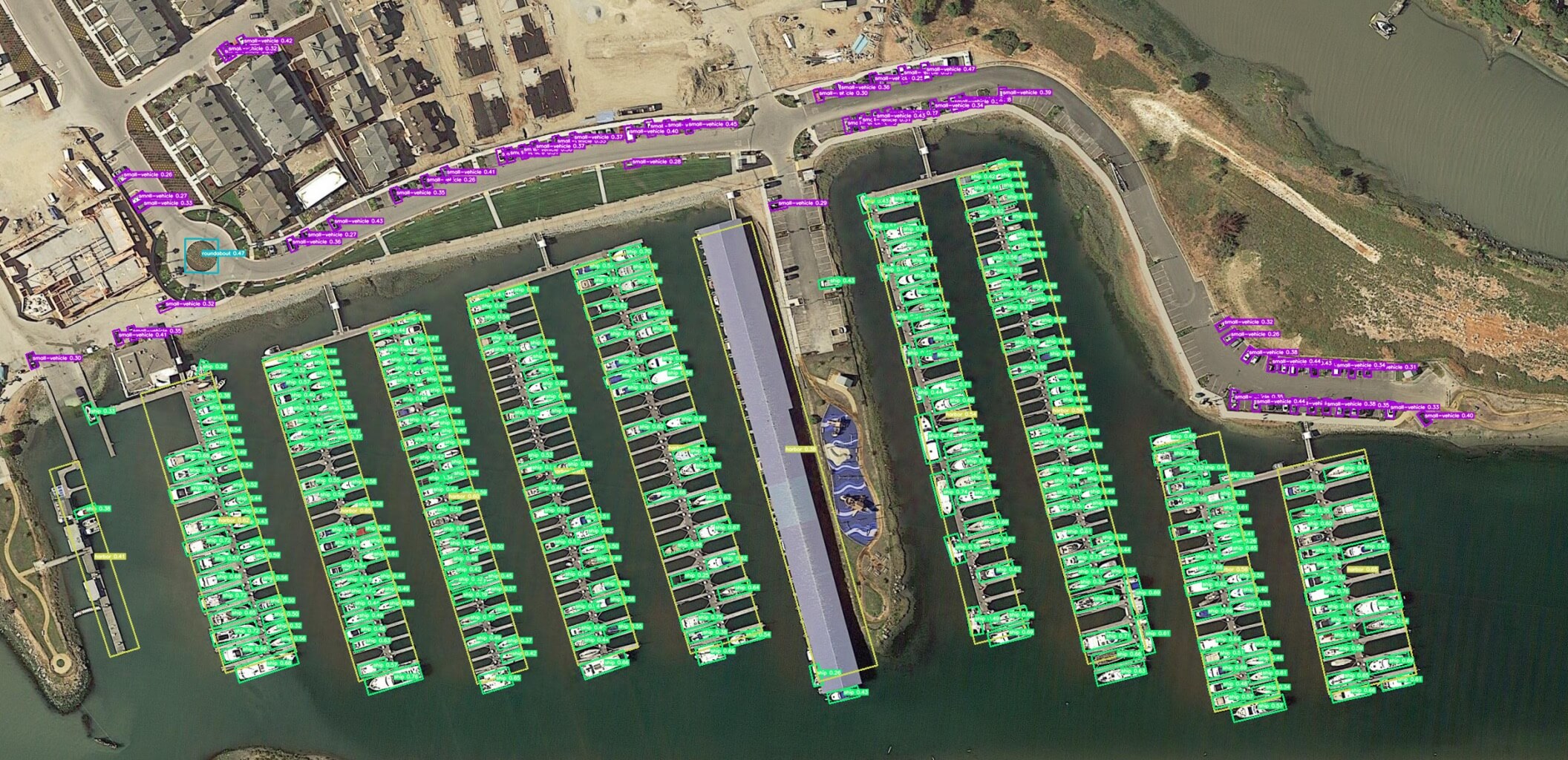
DOTA v2 Dataset with OBB, specifically the version from the [Ultralytics docs](https://docs.ultralytics.com/datasets/obb/dota-v2/) |
|
|
|
- [Website](https://captain-whu.github.io/DOTA/dataset.html) |
|
|
|
 |
|
|
|
## Full License |
|
Here reproduced from the website webpage |
|
|
|
License for Academic Non-Commercial Use Only |
|
|
|
This DOTA dataset is made available under the following terms: |
|
|
|
1. The Google Earth images in this dataset are subject to Google Earth's terms of use, which must be adhered to. |
|
2. The GF-2 and JL-1 satellite images are provided by the China Centre for Resources Satellite Data and Application. The aerial images are provided by CycloMedia B.V. |
|
3. Permission is hereby granted, free of charge, to any person obtaining a copy of this dataset to use it for academic, research, and other non-commercial uses only. |
|
4. Redistribution, modification, or commercial use of this dataset or any portion of it is strictly prohibited without explicit permission from the copyright holder. |
|
5. Any academic work that makes use of this dataset should include a citation to the dataset source. |
|
|
|
All rights not expressly granted are reserved. |
|
|
|
|